Cold Air Funnel Spotted Sunday In Calhoun Co.
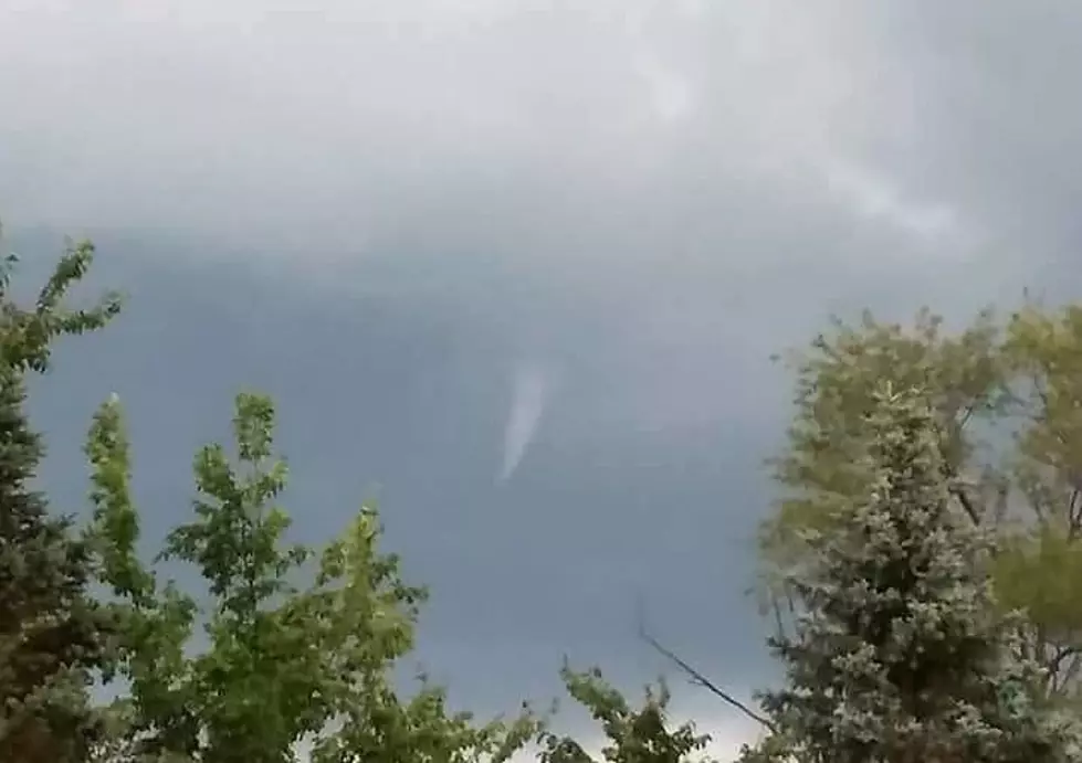
As a rain system moved through Southwest Michigan Sunday afternoon, multiple people spotted at least one cold air funnel. The one pictured here was captured from near the Calhoun County and Jackson County line, taken from Springport looking towards Duck Lake.
Cold air funnels form beneath showers or weak thunderstorms when the air aloft is especially cold. The funnels are most common in the fall and spring when the sun is able to heat up the lower levels of the atmosphere, causing convection to bubble up and form showers, but temperatures around 15,000 to 20,000 feet above the ground are quite cold. Cold air funnels are usually harmless, but on rare occasions they can touch down and cause EF-0 level (winds up to 85 mph) tornado damage
So why wouldn't a Tornado Warning be issued and sirens sounded? Good question.
It is usually not necessary for the National Weather Service to issue Tornado Warnings for cold air funnels since it is so rare for them to make it all the way to the ground and become a tornado. They are also difficult to detect on radar since they are very weak. Spotter and public reports are essential when cold air funnels are in the area. The NWS will usually issue a Special Weather Statement when cold air funnels have been reported. Of course, a Tornado Warning will still be issued if it is felt that a funnel will touch down.
More From WBCKFM


