
How Did Google Map Mackinac Island?
As all Michiganders know, cars are not allowed on Mackinac Island. So, how is it that Google Maps has pictures? The creative workaround is pure Michigan.
Remember how we used to get directions? First, you actually had to talk to someone, and then you'd get an answer something like, "turn left just yonder there, past McClain's farm. If you get to the Zephyr gas station, you went too far."
Google Maps was launched in 2005. Today, we take it for granted and as of 2020, more than a billion people around the globe use it to commute, navigate, plan trips, or just see anywhere in the world from wherever they are, right on their screen.
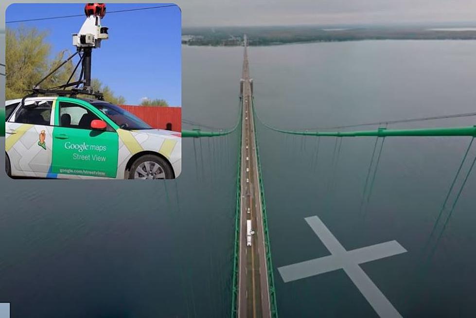
Thanks to Google Street View, activated in 2007, you can see images from almost anywhere in the world. The Google car has driven all over the planet with a 360 camera on the roof collecting pictures of its surroundings. The still frames are then digitally stitched together into a comprehensive view. (There is a fascinating video on how all of this works at the bottom of this post.)
Google Maps is everywhere- or is it? What about those places the Google car can't go, like Mackinac Island, Tahquamenon Falls, or Sleeping Bear Dunes?
Pure Michigan teamed up with Google Maps in 2016 for an ingenious solution to the problem and found a way to bring Michigan's natural beauty to the world wide web: Google Trekker.
We are fully aware that just because the road ends, it doesn’t mean that there’s not more interesting sites to see. These are places where a car can certainly not go, so it makes sense to capture this imagery via the Trekker equipment and still be able to share it with the world.
-Deanna Yick, program manager for Google street view
A backpack was designed to hold a camera and all the equipment needed to run it and the apparatus was run across the state on foot. A dozen volunteers logged more than 75,000 steps on land and paddled miles on Michigan lakes to amass more than 44,000 panoramic photos. The Trekker traveled for four weeks to 43 locations all over Michigan, providing 360 views from coast to coast.
The Google Trekker was taken to remote areas not accessible by car like Mackinac Island, Sleeping Bear Dunes, Pictured Rocks National Lakeshore, Tahquamenon Falls, and even Ford Field, and the Detroit Riverwalk. See what the backpack looks like and take a look at how it all comes together to showcase the beauty of Michigan in the video below.
24 Bridges to Enter the Upper Peninsula of Michigan that Aren't the Mighty Mac

This Michigan Man Forges Custom Knives from Mackinac Bridge Steel
More From WBCKFM
