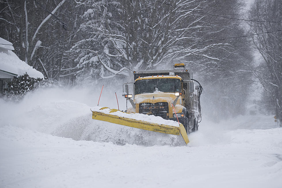
Fresh Snow Glazes Roads
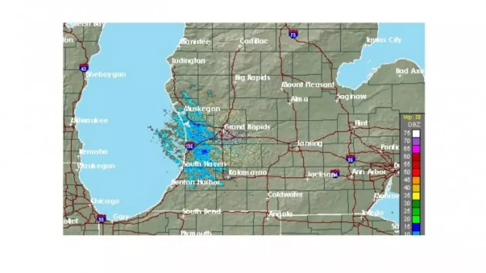
The radar picture Friday morning suggests a calmer setting in Calhoun County, with lake effect snow showers dissipating. However, overnight snow left 1-2" on area roads, making for a potentially slippery commute.
Crews continue to treat roadways in an attempt to minimize trouble spots as commuters hit the road Friday morning.
The National Weather Service forecast suggests it will be a roller-coaster few days, starting Friday night and Saturday morning with potential freezing rain as temperatures rise. Then, by Monday afternoon - after a weekend of rain - temperatures will drop through the 30s and precipitation will transition back to snow.
Meteorologist Dennis Hodges will update the forecast Friday morning on The Richard Piet Show on WBCK, and all day long.
More From WBCKFM