Models Suggest Pacific Ocean Major Hurricane Pamela to Reach Michigan
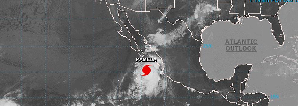
When you hear about hurricane season, you almost instinctively think of the Caribbean and the Atlantic Ocean. However, tropical cyclones form in the eastern and central Pacific Ocean as well. One storm, Hurricane Pamela, set to make landfall in Central Mexico tonight (October 12, 2021) is forecast to reach Michigan.
Weather watchers say the 'spaghetti model,' the composite of several computer forecasts, for Pamela is rare in that it stretches the storm and its remnants clear across the continent and through all of Lower Michigan.
Mike's Weather Page on Facebook notes,
This is something you don't see everyday. Spaghetti models on [Hurricane Pamela] stretch from Mexico to Michigan!
See those models below:
While one model, the orange line, does peter out over Arkansas, all other forecast models place the storm over Michigan. The red line would appear to follow the Michigan baseline from say South Haven slightly northeasterly to Port Huron.
The green forecast line tracks from around Holland to Saginaw Bay. While the purple forecast tracks south of Chicago, with the storm crossing into Michigan somewhere between New Buffalo and Niles from Indiana then crossing the state to the Thumb and Bad Axe before exiting into Lake Huron.
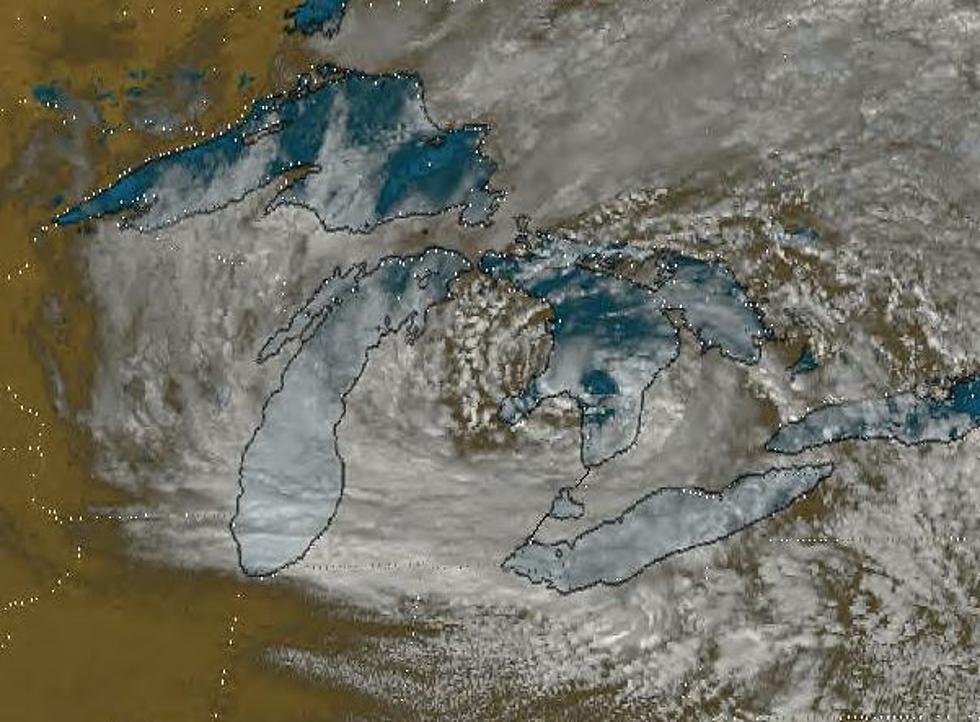
While the tropical storm will likely weaken significantly on its cross-continent journey, it's worth noting that the Great Lakes can churn up some cyclonic-like storm systems. The most famous one being the Huron Hurricane of September 1996.
Check out more weather lore and knowledge like the most expensive storms in history and keep scrolling for fascinating weather folklore.
LOOK: The most expensive weather and climate disasters in recent decades
KEEP READING: Get answers to 51 of the most frequently asked weather questions...
More From WBCKFM


