Here It Comes (We’re Pretty Sure)
After that sort of fizzled out winter weather blast last weekend, there may be some skepticism about what we’re being told to prepare for this weekend. But the National Weather Service is getting support from lots of private forecasters that a big one is coming. Last weekend’s storm predictions were tough since everything relied on weather fronts pulling moisture up from the Gulf of Mexico. While we did get a lot of rain and there’s still flooding happening as a results, we didn’t get the heavy coating of ice which is a lot more difficult to predict.
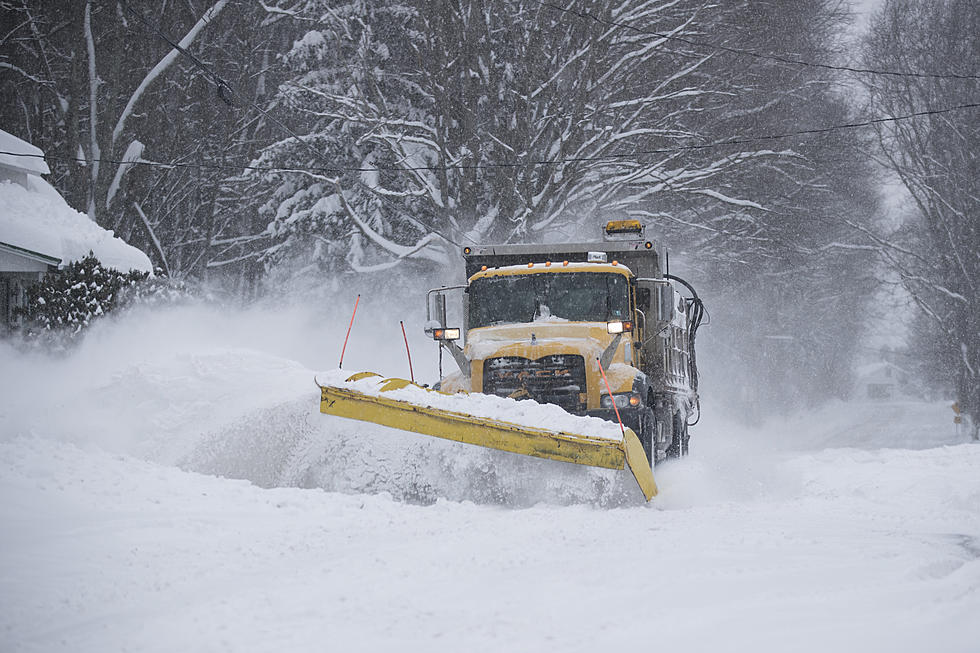
This time forecasters may have an easier time seeing the new storm front develop. Heavy snow is predicted to develop overnight and continue through early tomorrow. The National Weather Service is calling for anywhere from 4 to 7 inches of snow through tomorrow morning for most of Southwest Michigan. Strong gusty winds will help reduce visibility in the area. Gale force winds are predicted for Lake Michigan with wave action on the big lake kicking up 14 foot waves by late tomorrow. Inland wind action could see gusts up to 40mph overnight. Flooding is predicted along Lake Michigan shoreline communities. Cities like South Haven are bracing after heavy damages have already occurred from the fall into this winter from high water levels.
Check conditions before heading out on the roads overnight with slippery driving conditions and significantly reduced visibility from the wind driven snow.
More From WBCKFM