More Dangerous Storms For West Michigan While 100,000+ Without Power In Excessive Heat
UPDATE 5:45pm 7/20/19-
Strong storms have entered the southern counties in West Michigan with frequent lightning and heavy downpours. No warnings have been issued, but the Severe T-storm Watch remains in effect until 10:00 pm. Another line of strong storms, that have prompted warnings in the Chicago area, are moving east toward the region.
UPDATE 3:50pm 7/20/19-
A line of strong storms has now moved into West Michigan, prompting Severe T-storm Warnings for Ottawa and Newaygo counties. The system is moving very quickly to the southeast and stretching back west over Lake Michigan. It will approach South Haven very soon and the Kalamazoo and Battle Creek areas in the next hour or so.
UPDATE 2:20pm 7/20/19:
The National Weather Service has issued a Severe T-storm Watch for all counties in West Michigan, excluding the counties along the Michigan/Indiana border, until 10:00 pm Saturday evening.
An Excessive Heat Warning continues for the West Michigan region for the rest of Saturday.
ORIGINAL STORY:
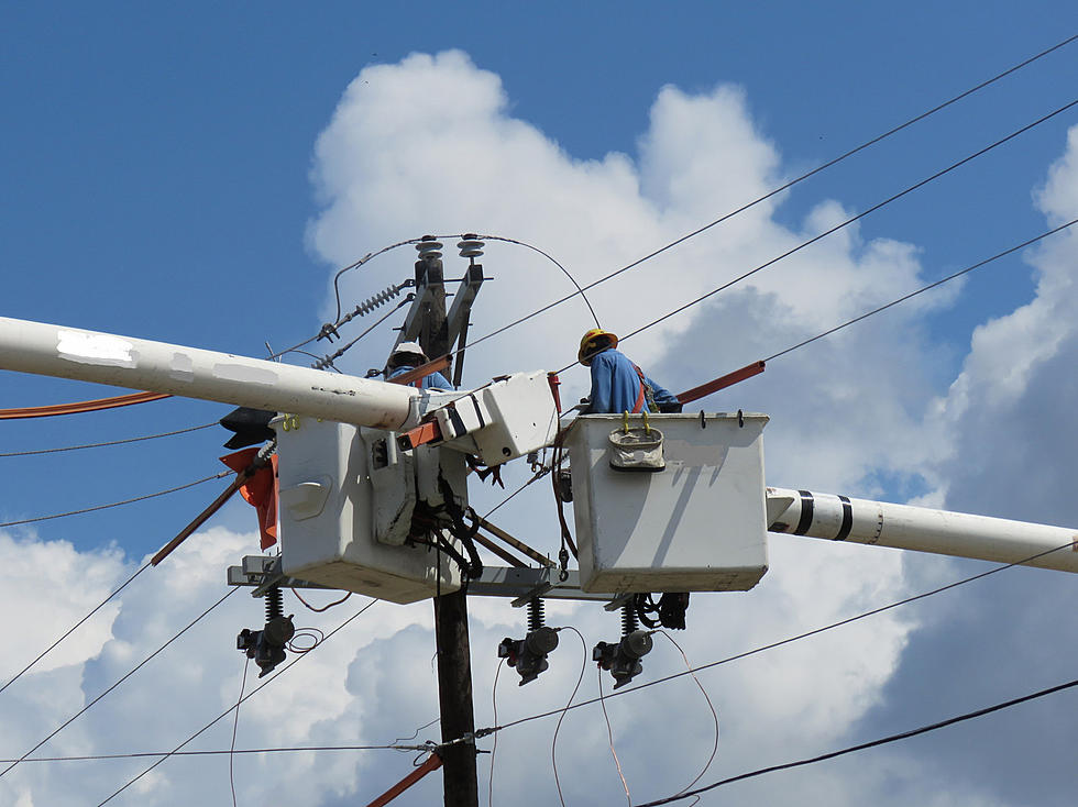
A potentially dangerous situation is unfolding in West Michigan, due to the combination of excessive heat and power outages caused by severe thunderstorms early Saturday morning.
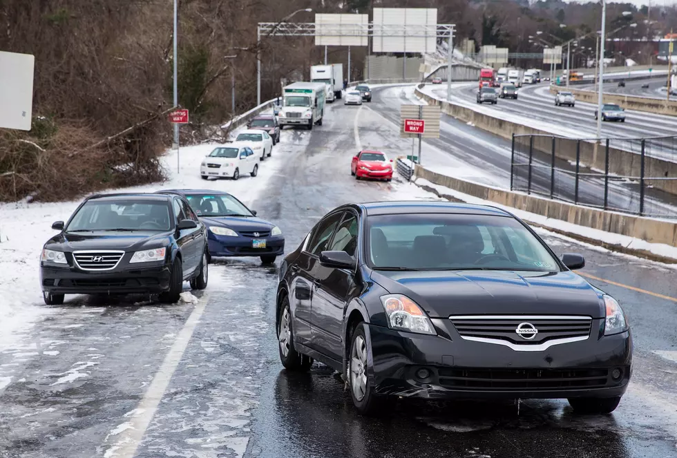
According to the National Weather Service, there is a enhanced risk for severe thunderstorms from mid-afternoon until late evening Saturday for most counties in West Michigan. It includes the Battle Creek, Grand Rapids, Kalamazoo and Muskegon metro areas. The next round of potentially severe storms could produce wind damage and torrential rain. An isolated tornado cannot be ruled out as well.
Meanwhile, severe storms early Saturday morning caused widespread power outages, which left over 100,000 residents in West Michigan without electricity during an Excessive Heat Warning that's in effect across the region. But this next round of storms could cause more power outages while high temperatures are reaching the mid-90s and heat index values peak as high as 110 this afternoon.
Tips from Consumers Energy to stay cool during a power outage
- Stay insulated. If you have rooms in your home that are warmer than others, close them off to prevent hot air from heating the rest of your home. Close your fireplace flue and keep your blinds/curtains closed.
- Let the cool air in. Open your windows at night or when it’s the coolest. Trap the cool air before peak temperatures arrive.
- Sleep in the lowest part of your home. Hot air rises so it’ll be cooler in your basement than on the second level. Sleep on the lowest level of your home whenever possible.
- Stay hydrated. Drink at least 6 to 8 glasses of water a day. Avoid excess sugar, caffeine or alcohol – it can increase water loss which can dehydrate you quicker than normal.
- Stock up on ice. If your freezer isn’t operating, store ice in a cooler, bathtub or other insulated vessel. If you don’t plan on drinking it, add salt to lower its melting point. You can use this salt water mixture to make cooling packs.
More From WBCKFM