Snow, Sleet And Ice Mix Heads To Kalamazoo & Battle Creek
Give yourself plenty of extra time for your morning commute as a winter storm will move through tonight into tomorrow bringing heavy wet snow, freezing rain, and mixed precipitation.
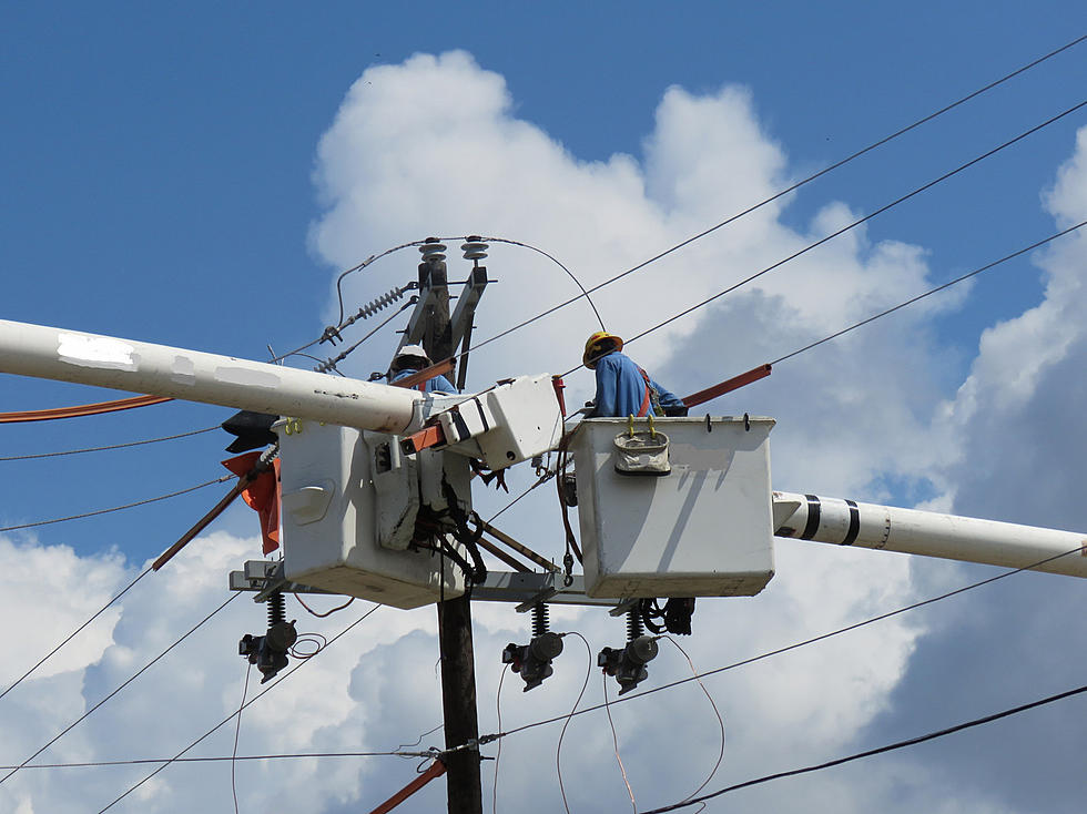
The National Weather Service out of Grand Rapids is issuing warnings and advisories ahead of a storm that will bring a wintry mix. Gale Warnings are in place all along the lakeshore. The wintry mix could also bring down power lines adding yet another headache for the morning.
The National Weather Service has a winter weather advisory for nearly all of West Michigan, with precipitation spreading in from the southwest beginning sometime after between 8:00 p.m. Tuesday heading into the overnight and continuing through Wednesday afternoon. The Kalamazoo and Battle Creek areas are forecasted to get up to 2 inches of that wintry mix.
Those heading further west of Kalamazoo could see nearly whiteout conditions on the road. Traveling to the north won't make things much easier with predicted snow accumulations of 6 to 8 inches forecasted north of Grand Rapids.
The good news is that temperatures will move close to 40 degrees by afternoon with rain continuing, melting much of the ice and snow ahead of the evening commute. Temperatures will dip back below freezing Wednesday night so slippery conditions could be back in place for Thursday's morning commute, especially on back and secondary roads.
Click here to see the latest Warnings and Advisories from the National Weather Service for our area.

TIPS: Here's how you can prepare for power outages
More From WBCKFM