Two weeks ago storms rolled across West Michigan and across the state leaving hundreds of thousands of residents without power. Some for over a week. Now the Michigan Attorney General wants to hear your stories.
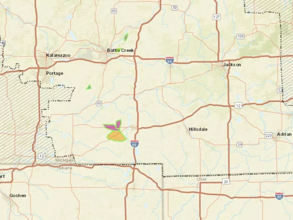
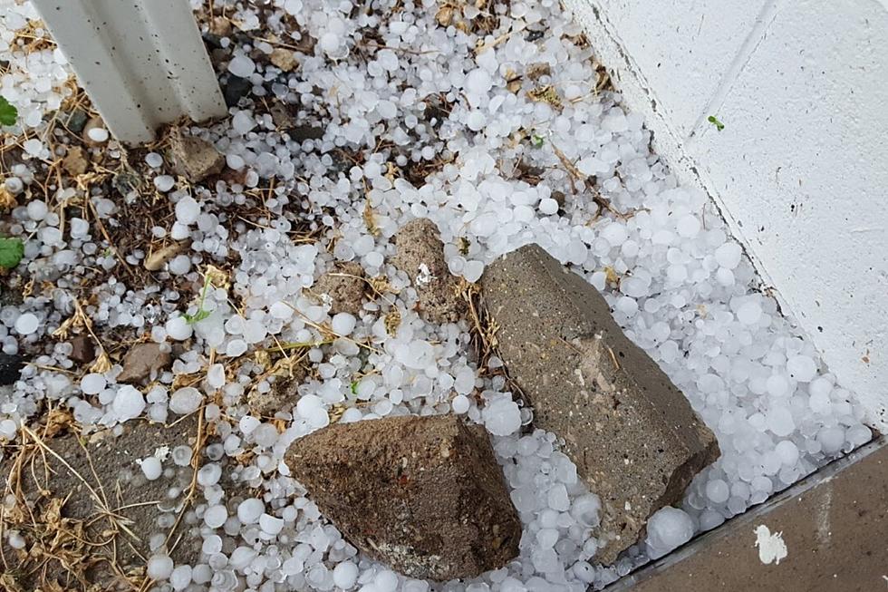
Another big line of storms roared across the state overnight. The sounds at times were more like sensations with homes and buildings shaking from pressure waves from the lightning and thunder.
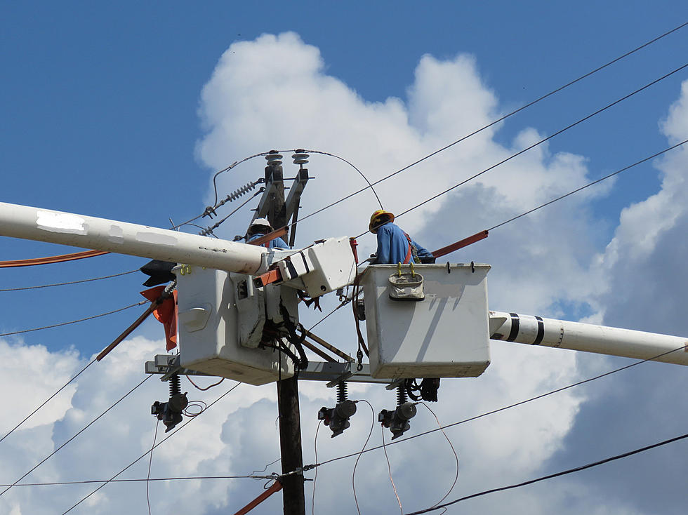
Thousands of homes and businesses throughout southern Michigan are without power this morning. Consumers Energy, Indiana-Michigan Power, and DTE Energy, all have crews in the field working to get service restored.
Give yourself plenty of extra time for your morning commute as a winter storm will move through tonight into tomorrow bringing heavy wet snow, freezing rain, and mixed precipitation.