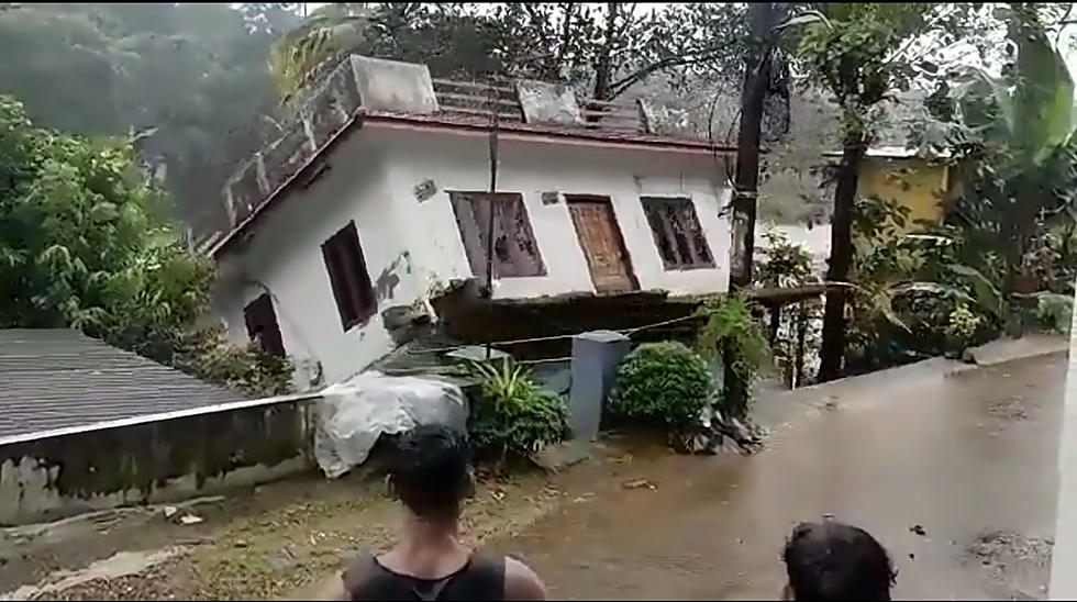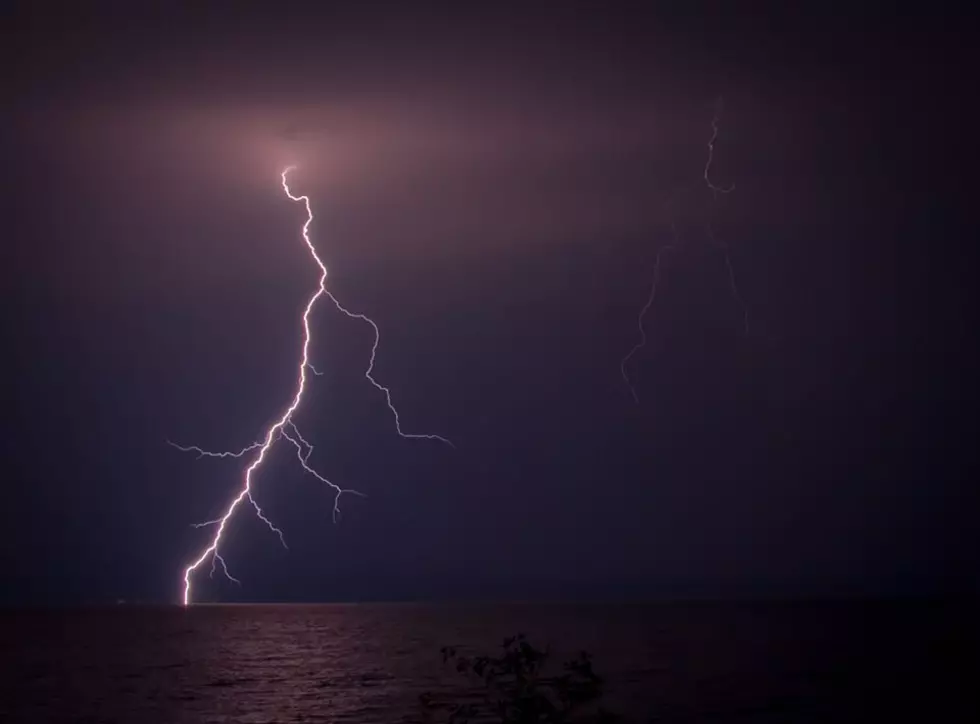
We Just Got Slapped By A Derecho
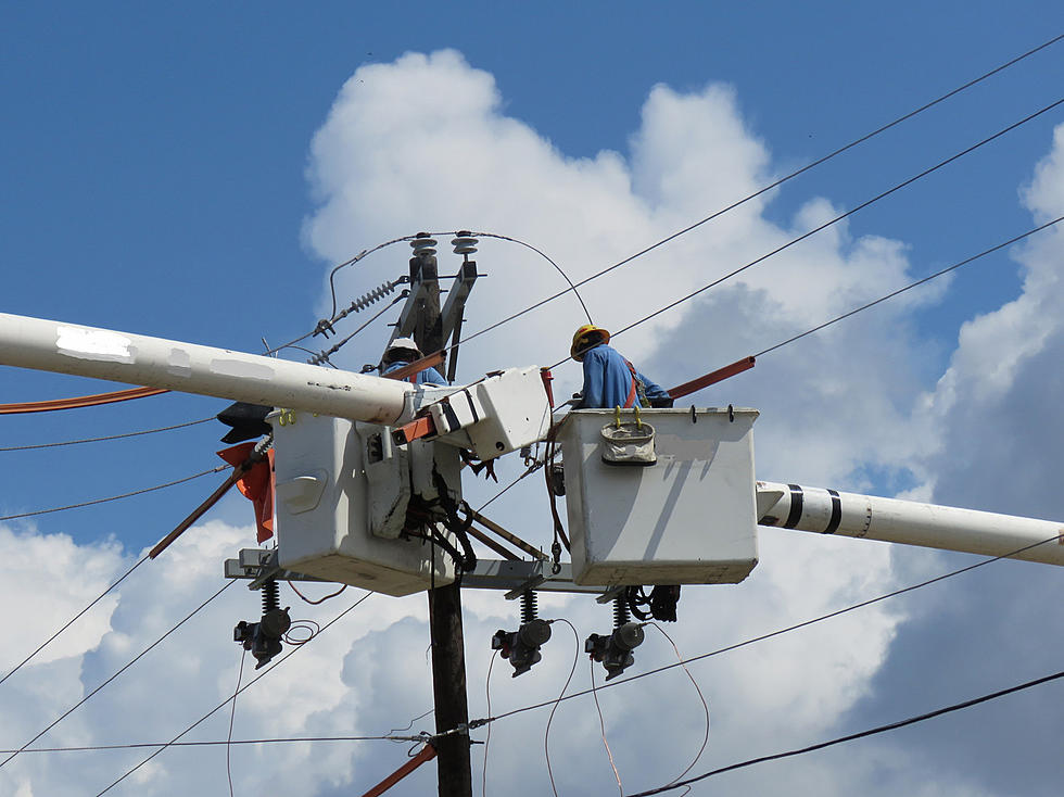
Utility work crews have been at it all night around the area. They’re getting power restored to thousands of residential and business customers from that big storm line that hit us early last night. We could have been hit a lot worse. If you looked at radar images late afternoon yesterday you knew something notable was on the way. A powerful storm line that got its start in Nebraska was rolling through Chicago and moving in on us. Hundreds of thousands were left without power in the Chicago area. Several tornado warnings went up for the Chicago area. By the time the storm line hit our area, it had weakened somewhat but still packed 50 to 60 mile per hour wind gusts. The storm line is still holding together, now well off to the northeast moving in on Canada off Lake Huron. This morning, lots of cleanup across Southwest Michigan from what forecasters pegged as a Derecho. It’s a straight-line wind storm that is large and has the potential to cause damage for hours as it moves across the landscape. That’s exactly what this one did. The real weather geeks call this kind of event a mesoscale convective system. That’s a detailed way to describe - big storm.
Consumers Energy reports a few thousand customers left in the dark around Calhoun and Kalamazoo counties this morning. The utility has a total of about 11 thousand customers in the dark this morning. Indiana Michigan over in St. Joe and Berrien counties has another few thousand without service. DTE energy over to the east only has about 14 hundred customers without service. No telling how long it may take to get everyone restored. Many of the outage areas are very small so that means more travel and repair locations for utility crews to handle.

SEE MORE: 10 Signs To Look For When Watching For A Tornado
More From WBCKFM